I’ve just read the news that EveryBlock has lauched on Adrian Holovaty’s blog. (You can read about the idea behind everyblock at the launch entry of the everyblock blog). I had the chance to meet Adrian last August and discuss some of my ideas and concerns related to geocoding news etc with him.
It’s great that his vision is now graspable for the cities of Chicago, New York and San Francisco.
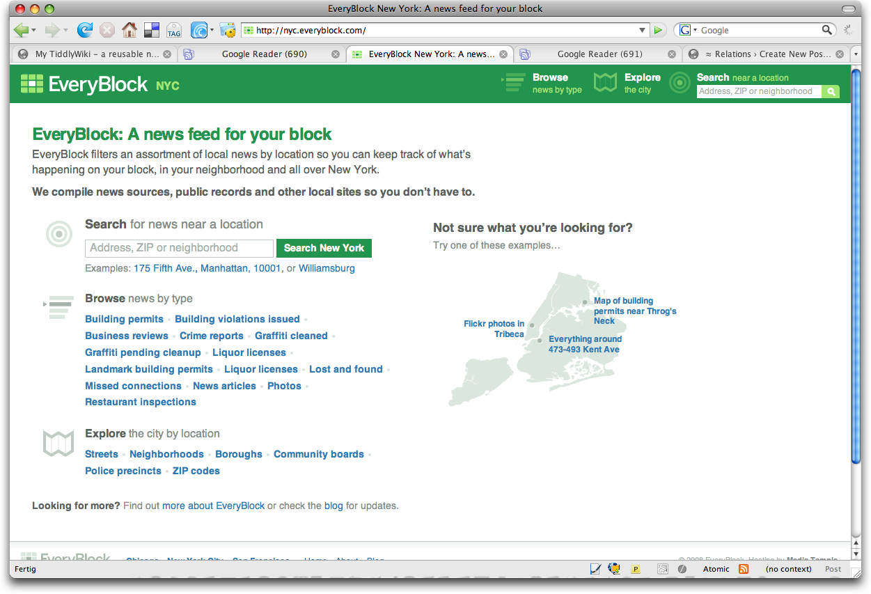
Here are my first impressions:
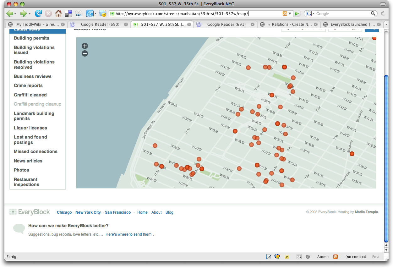
Not very surprisingly Adrian and his team “get it right”. All kinds of data accessible at the right URLs. Classification into multiple administrative hierarchies, navigation along these hierarchies, graphically reduced maps, …
The only thing i’m wondering about is the lack of any feeds, especially given the fact that the feed framework of django makes generating feeds easy.
But may be they are at the same point as i’m right now: “What is the best way to include the classification into the hierarchies and the other metadata into the feed.”
No, i’m not talking about the coordinates and geometries, you could use GeoRSS for that. I’m talking about adding the metadata that this news is relevant for a certain borough, precinct etc. and provide enough information that consumers of the feeds can use this information in order to build their own (re-)presentations. More how we handle this at dpa-infocom in a post coming soon to the Going Places mini series i just started.
Presumably everyblock uses django as its backend. Since i’m a long term follower of Christopher Schmidt’s great work, hence its especially good to see that everyblock.com is using openlayers and tilecache for its mapping components.
I’m wondering if they are using the django-gis branch and would be eager to learn which GIS-backend they are using for generating the tiles. Looking at the tilecache URLs they are using a WMS-compatible one. Right now i’m wondering if i should use GeoServer or MapServer for my own experiments i’m going to start very soon. Any recommendations?
Since i know how hard it is to get neighborhood and other geometries (it is even harder in europe than the states, e.g. finally i had to buy them from a commercial provider for the german cities) i wonder how Zillows move to making their neighborhoods available as shapefiles eases their tasks of creating everyblock for more cities.